Distance: 9.6km/6miElevation: lowDirection: clockwise Parks / nature / pedestrian: ca 43%Urban constraints / crossroads / traffic: medium Suggested starting point: north end of the Mont Blanc Bridge (corner Pont du Mont-Blanc / Quai du Mont-Blanc).
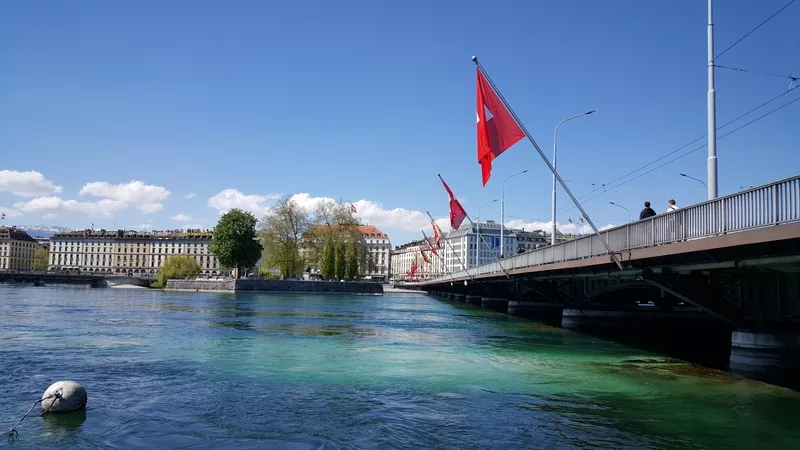
Public transportation: Bus stop Geneva Mont Blanc, lines 6, 8, 9, 25, NA, NC, NSThis route guides you to the Jet d'Eau, an emblem of Geneva with its 140m height. A short detour on the embankment can be refreshing before the busy streets of the Quartier des Eaux-Vives/cite. You will run through the old town and its maze of alleys, the St-Pierre Cathedral, and the green Parc des Bastions and Reformation Wall. You won't miss a thing. You'll also discover the Plainpalais districts, a popular cultural and student neighborhood. You will run the banks of the Arve which is crossed by the elegant Pont Wilsdorf, and of course the Junction neighborhood and the banks of the Rhone. Your tour also includes the Seujet dam that regulates the levels of water in Lake Geneva after collecting waters from the Swiss Alps to the Mediterranean Sea.As any urbirun route, you can start wherever you want. Watch for the route rotation direction.
NB: if you feel unsure, please feel free to check your position on the map and the track.
About the Creator
urbirunGet the app
To unlock the full experience—including 19 hidden gems, each with immersive audio stories, plus handy features to guide your journey—download the Cya On The Road app.
Once you're in the app, simply search for the tour name Urbirun Geneva - South Bank and Old Town to get started.


