Estimated distance & time: 987m / 20 mins
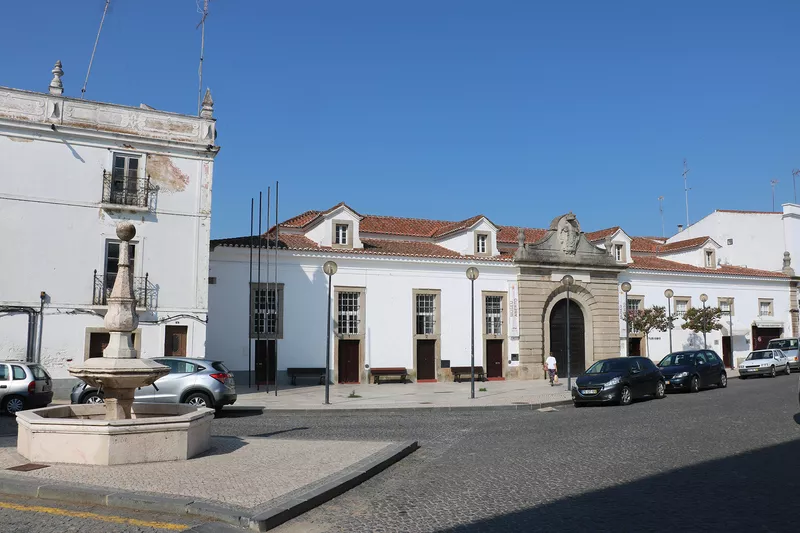
This route aims to introduce the visitor to a set of streets that make up the oldest urban tissue of the town and, at the same time, pay homage to illustrious inhabitants, that mark important moments in its history or that present architectural features to be visited.
About the Creator
Câmara Municipal de Campo MaiorGet the app
To unlock the full experience—including 15 hidden gems, each with immersive audio stories, plus handy features to guide your journey—download the Cya On The Road app.
Once you're in the app, simply search for the tour name Roadmap of Toponymy to get started.


